Key Highlights
- Geospatial AR content comes to Google Maps
- Offers interactive UI for exploring popular landmarks and desitinations
- Mass rollout to be initiated gradually
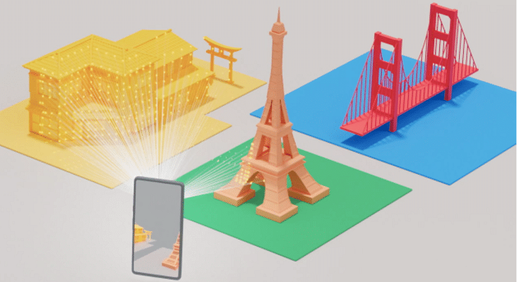
Google’s I/O 2024 event has been all about AI with the brand introducing the new Gemini AI version and also a plethora of service upgrades with AI integration. Google Maps also silently received a new geospatial AR feature which will allow users to get an interactive view of popular buildings, landmarks, and streets. Here’s how unique user experience the new geospatial AR content feature with Google Maps:
Also Read: Google Maps 3D Building View: What Is It? How To Enable?
Google Maps Geospatial AR View Feature: What Is It?

Google has been working constantly to provide an interactive user experience with the Maps app. The recent additions of 3D buildings feature has been the most advanced navigational feature. But during the recent I/O 2024 developer conference, Google revealed another new AI feature for the Maps called geospatial AR content.
With this new feature’s rollout, Google aims to provide the user a real life AR experience on the Maps app itself when any popular landmark or building is nearby. This new feature is designed to make Maps app a complete travel companion where it will also act as a guide whenever required.
Also Read: Steps To Use Google Maps Navigation Using Apple Car Play
How To Use Google Maps Geospatial AR View Feature
The geospatial AR view for Google Maps is set to commence as a pilot project soon. Users in Singapore and Paris will be the first to receive this new Maps AR feature on their Android and iOS devices. Google will possible begin with the mass rollout by early 2025 in the remaining markets.
As far as usage is concerned, the geospatial AR feature once available will bring up an AR Experience tile whenever a popular landmark or building is nearby. Once the AR tiles pop up, users can simply tap on the photo roll of the respective landmark and Maps will display all the important facts and history of the location. This will be helpful to get insights of any popular destination without specifically hiring any guide or searching through multiple online websites and apps.
