Key Highlights
- Google Maps 3D view option available for desktop version
- Gives a clear view of neighborhood and surroundings
- Feature can be accessed using any web browser on laptops and PCs
Google Maps is currently the best navigational app which is accessible to smartphone as well as PC/ laptop users. Finding directions for a new destination is now easier than ever with Google Maps which is why it has become the go-to app for navigation across all the globe. With Google Maps, you can view the locality map in different layouts. Both 2D and 3D view is allowed with Google Maps.
The 3D Maps option gives an immersive and clear view of the streets and buildings for easy accessibility with directions. With just a few taps you can enable default 3D view on Maps. This can be done on both the mobile application as well as the desktop version. While the process is simple for the mobile app, it isn’t tricky for the desktop version too. Interested in knowing the steps to activate 3D Map view on your PC or laptop? Here’s the step by step guide for the same:
Also Read: Apple Maps Topographic Hiking Trail Feature: How To Use?
How To Enable Google Maps 3D View On PC Or Laptop

Step 1: Launch any web browser on your desktop. Just for reference, we have performed the steps on Google Chrome.
Step 2: Enter https://www.google.com/maps and hit enter
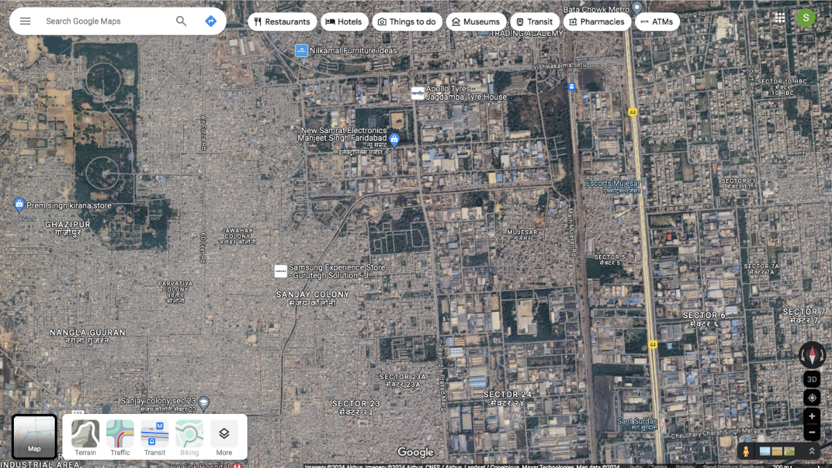
Step 3: Once the Google Maps homepage is open, locate the “layers” option at the bottom left of the apps homepage. Tap on it.

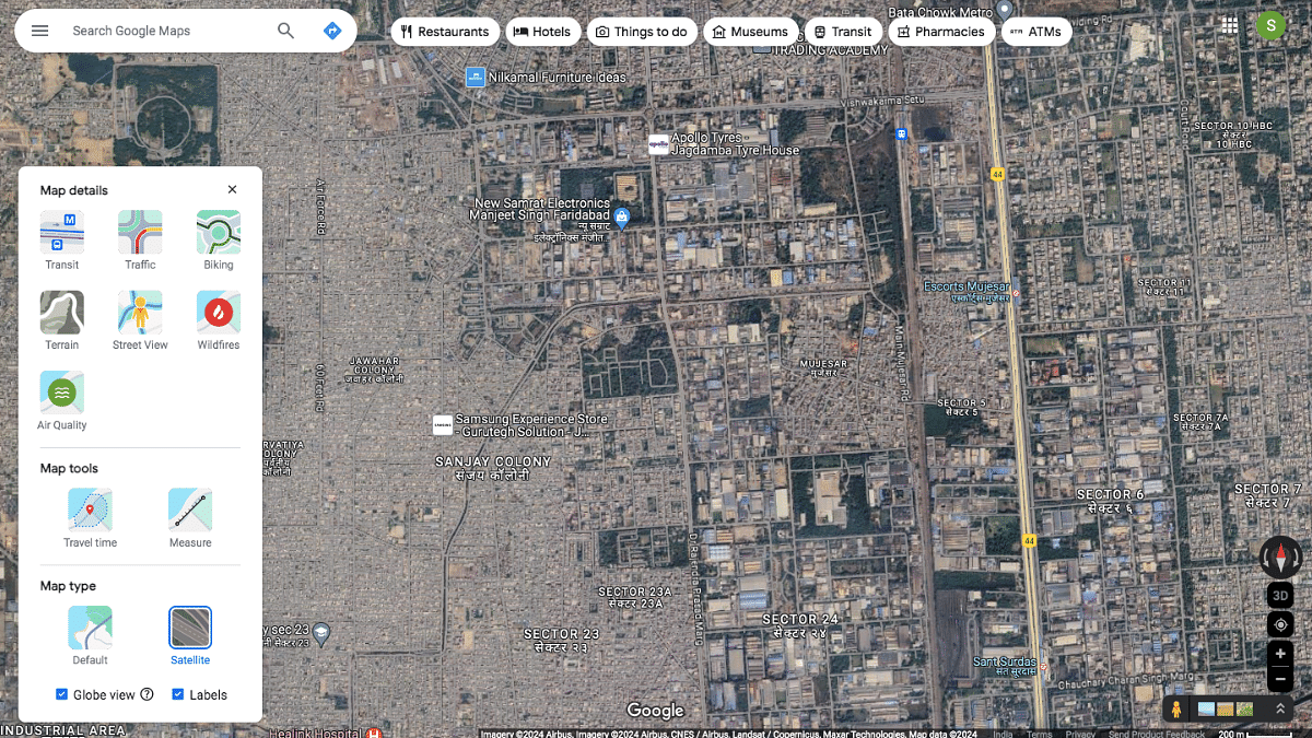
Step 4: You’ll see a bunch of options including “Terrain, Traffic, Transit, Biking, and More. Click on “More” option.
Step 5: Scroll to the Map Type and select the “Satellite” option.
Step 6: Do select the “Globe View” option to enable the 3D Maps view on your respective PC or laptop.
