Key Highlights
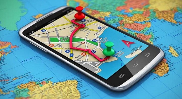
- Some of the best navigation apps stand out for their accuracy, ease of use, and extra features
- Google Maps is a popular choice offering a comprehensive set of features
- Waze is another popular option providing real-time traffic information
Traveling to new destinations can be both exciting and challenging. From trying to navigate an unfamiliar public transportation system to find your way to that hidden restaurant recommended by a local, getting lost can easily put a damper on your trip. Fortunately, with the rise of smartphones and navigation apps, getting lost is no longer a concern for travelers.
When it comes to choosing the best navigation app for your next trip, there are many options available. Here are some of the top navigation apps that will help you easily explore your destination. Also Read | Google Maps Privacy: How To Blur Or Delete House Or Any Other Image In Google Maps Street View
Google Maps
One of the most popular and widely used navigation apps, Google Maps is a go-to choice for travelers. The app provides detailed maps, turn-by-turn navigation, and real-time traffic updates. Additionally, Google Maps allows users to save maps offline, which is particularly helpful when traveling in areas without reliable internet connectivity.
Features:
- Provides an aerial view of locations
- Locations from a street-level perspective
- Real-time information on public transportation
- Information on nearby restaurants, hotels, and more
Waze
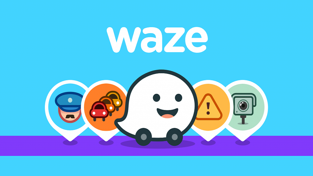
Similar to Google Maps, Waze is a navigation app that provides real-time traffic updates and turn-by-turn navigation. What sets Waze apart is its community-driven platform. Users can report accidents, police checkpoints, and other road hazards, which are then displayed on the app’s map in real time. This can help you avoid unexpected delays or detours while traveling.
Features:
- Real-time traffic information
- Turn-by-turn navigation for driving
- Control the app with voice commands
- Provides safety features
Also Read | Find Nearest Grocery Store: Here’s How To Locate Closest Grocery Store Using Google Maps
Citymapper
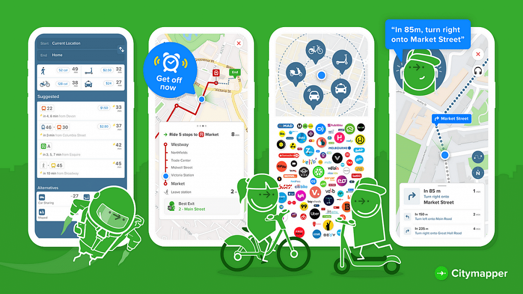
Designed specifically for urban travelers, Citymapper provides detailed public transport information for cities around the world. The app features real-time departure and arrival times for buses, trains, subways, and walking and cycling directions. Citymapper also provides estimates for ride-hailing services, making it a comprehensive transportation solution for travelers.
Features:
- Provides real-time transmit information
- Offers multi-modal route planning
- Step-by-step navigation for walking and biking
- Integration with ride-hailing services
Maps.me
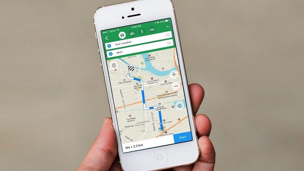
If you’re looking for an offline navigation app, Maps.me is a great choice. The app allows users to download detailed maps for entire countries, which can be used even when offline. In addition to turn-by-turn navigation, Maps.me also provides information on points of interest, including restaurants, attractions, and accommodations.
Features:
- Access maps without an internet connection
- Information on nearby restaurants, hotels, and more
- Offers multiple routing options
- Allows to share current location
With the right navigation app, travelers can easily explore their destination without the fear of getting lost. Whether you prefer real-time traffic updates or detailed public transportation information, a navigation app can meet your needs. With these top navigation apps, you can ensure that you never get lost again on your next adventure.
Also Read | Best Apps To Detect Hidden Camera For Android And iOS
